The River Ness, Inverness
The River Ness runs for about 10 km from Loch Dochfour, at the north end of Loch Ness, through the heart of Inverness to the Moray Firth. Its riverside paths are the easiest walk in the city, linking the cathedral, the castle, the city centre and the wooded Ness Islands.
Photos
Omar said
The river
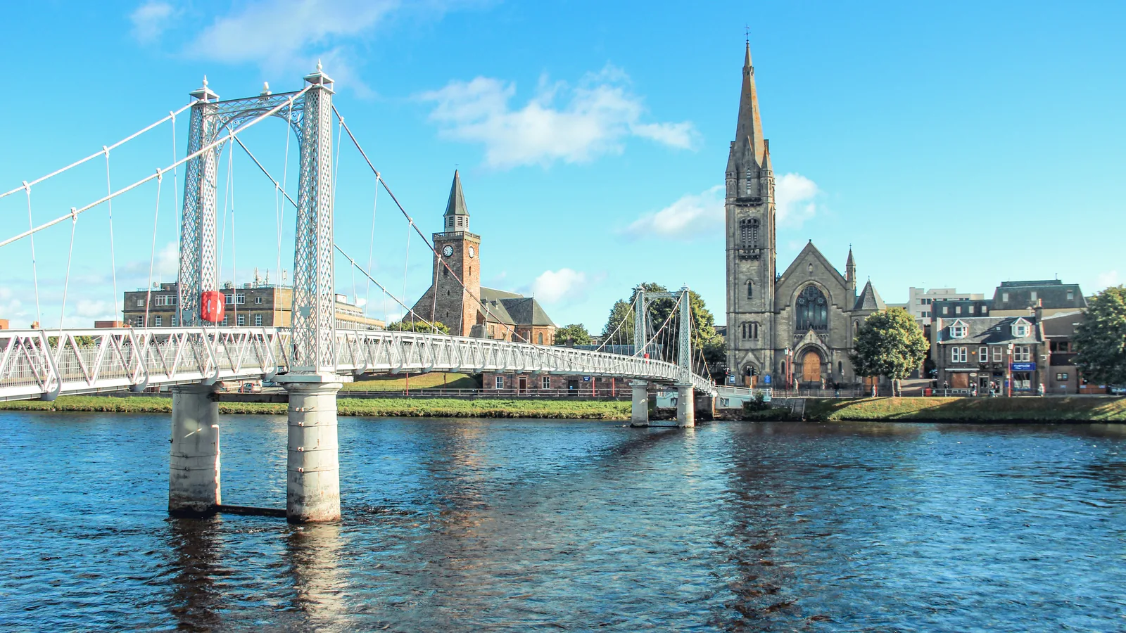
The Ness is short but substantial, draining a basin of around 1,850 square km, and for the first half of its course it runs alongside the Caledonian Canal. In Inverness it is crossed by a string of bridges, from the main Ness Bridge to the bouncy suspension footbridges at Greig Street and the Infirmary. Watching the river from the Ness Bridge gives a good view of the castle and the cathedral together.
The Ness Islands
A short walk upstream from the cathedral, the Ness Islands are a group of wooded islets linked to both banks by footbridges. A loop over the islands and back along the opposite bank makes a relaxing walk of an hour or so, and Whin Park, with its miniature railway, is close by for families.
Stories and routes
The river is tied to the earliest claimed Loch Ness Monster sighting, in AD 565, and local legend fills it with kelpies. The Great Glen Way passes near the Infirmary Bridge if you want a longer walk. Afterwards, the riverside pubs, the cathedral café and the Uilebheist distillery and brewery are all close to the water.
Highlights
- Riverside paths through central Inverness
- Wooded Ness Islands linked by footbridges
- Suspension footbridges at Greig Street and the Infirmary
- Runs alongside the Caledonian Canal upstream
- Linked to the earliest Loch Ness Monster story
Good to know
- Paths along both banks are free to use at any time.
- The Great Glen Way can be joined near the Infirmary Bridge.
Frequently asked questions
Nearby
Sources: en.wikipedia.org